


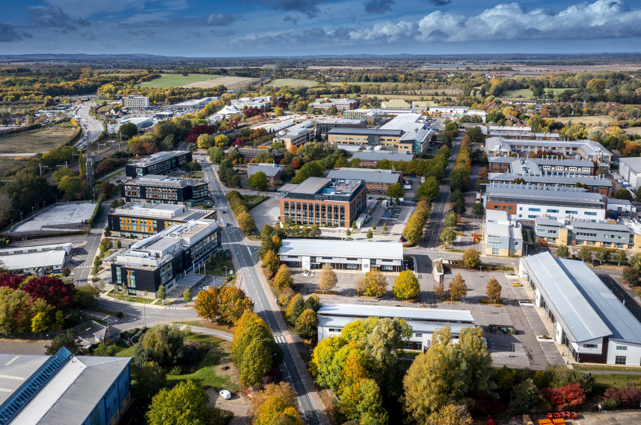
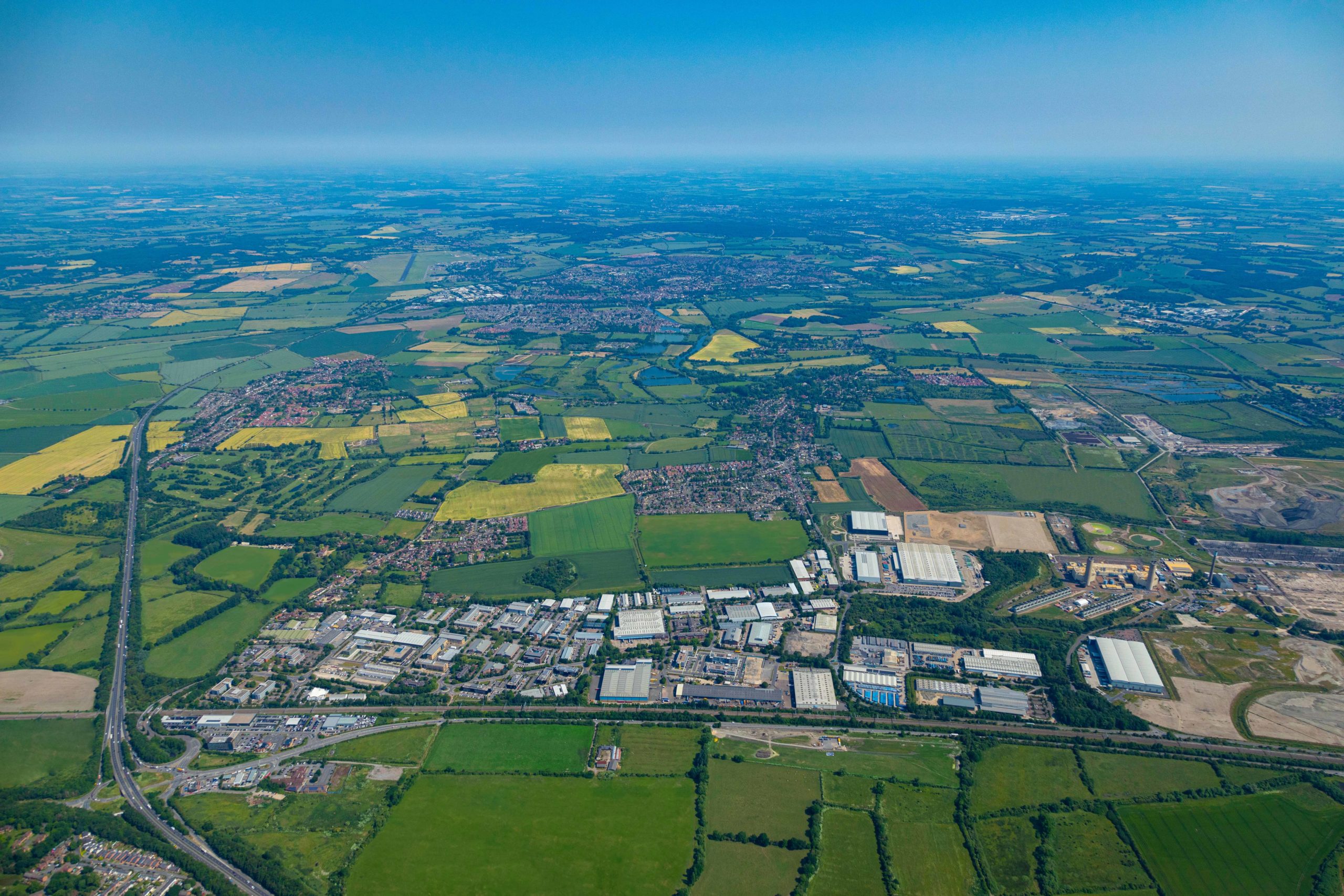
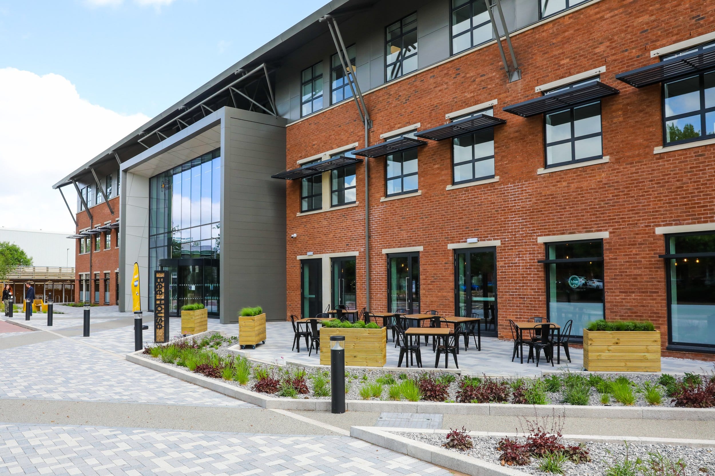
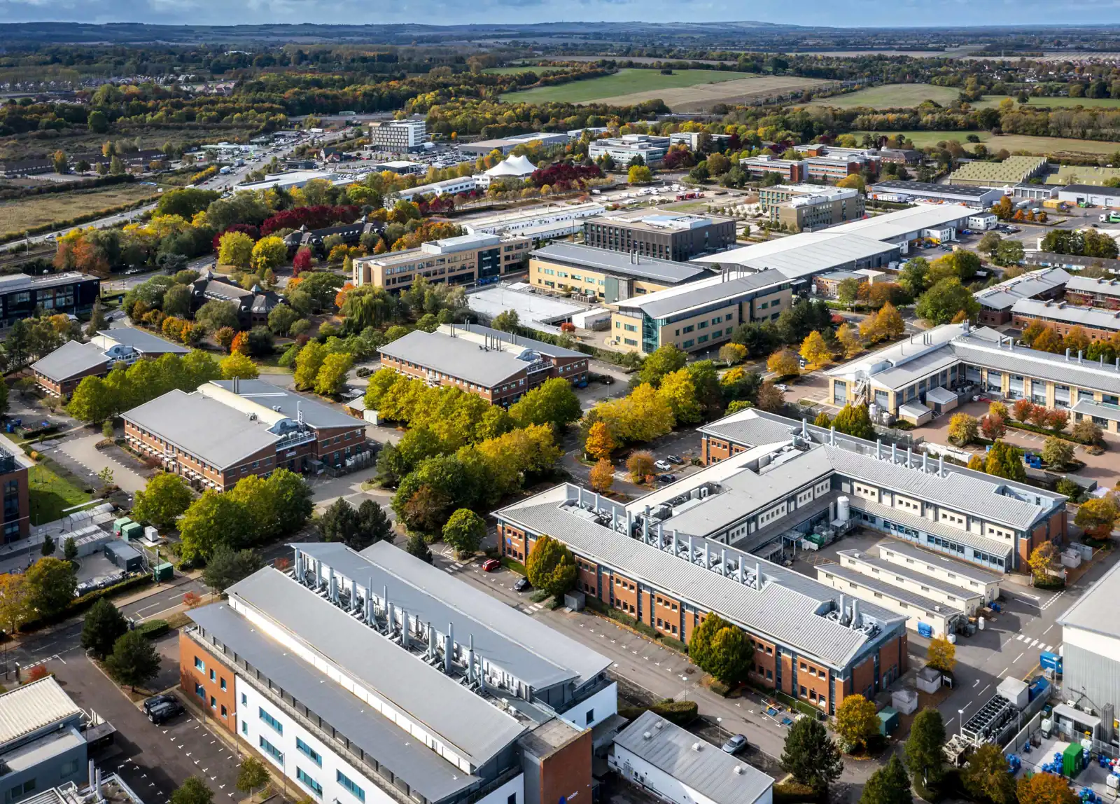
- Where is Milton Park?
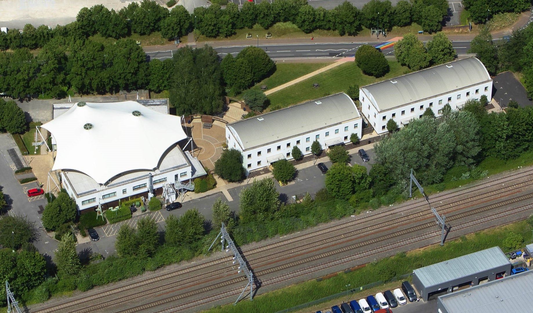
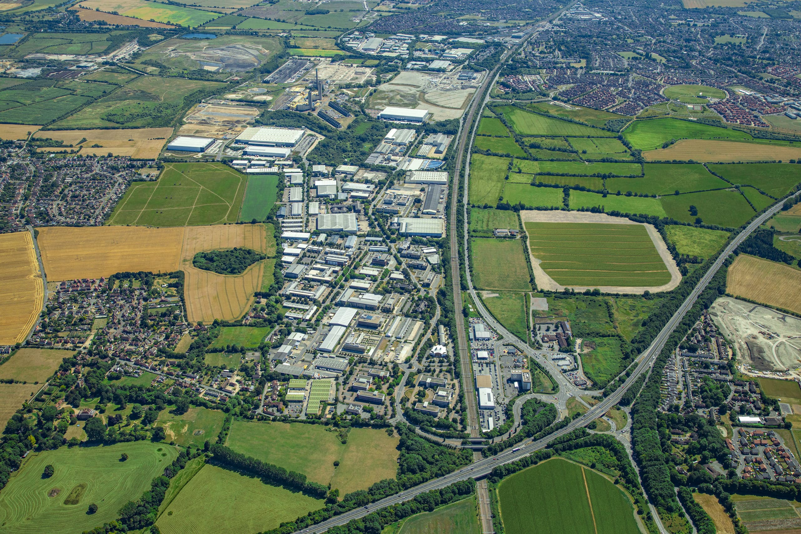
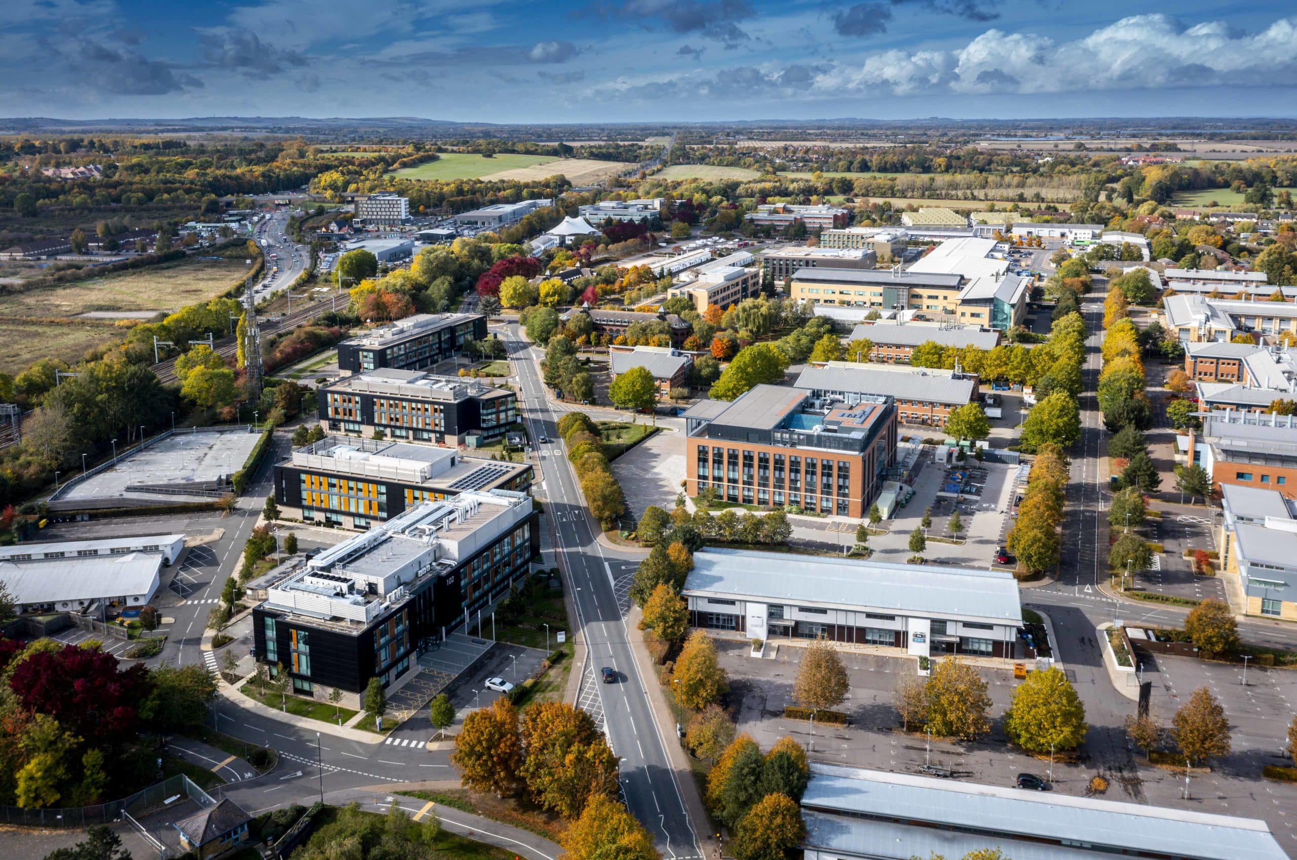
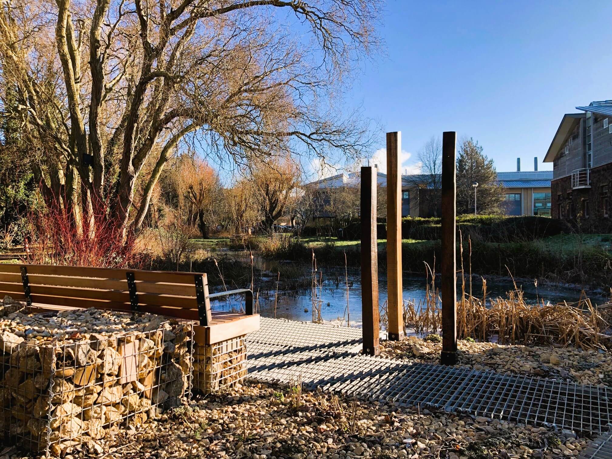
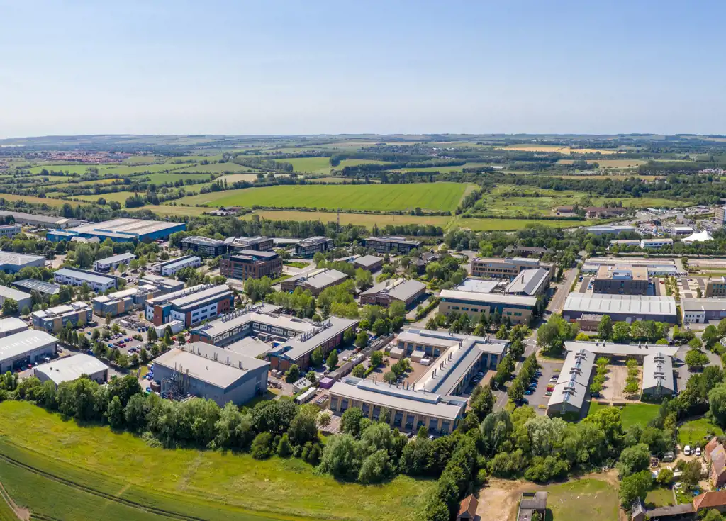
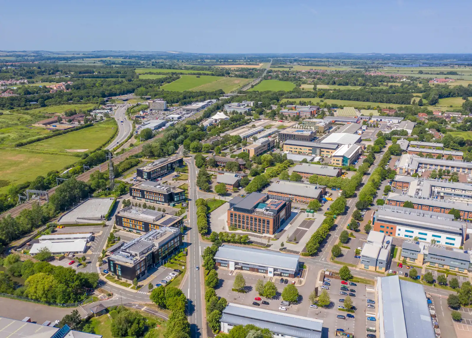
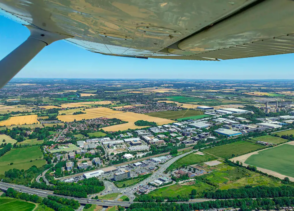
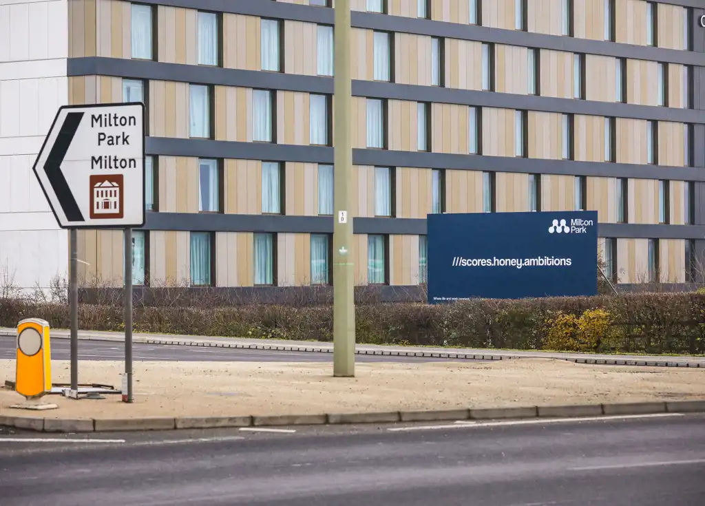
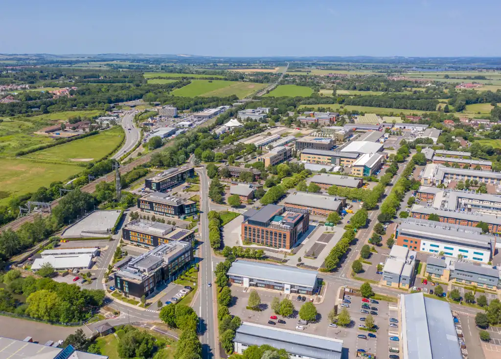
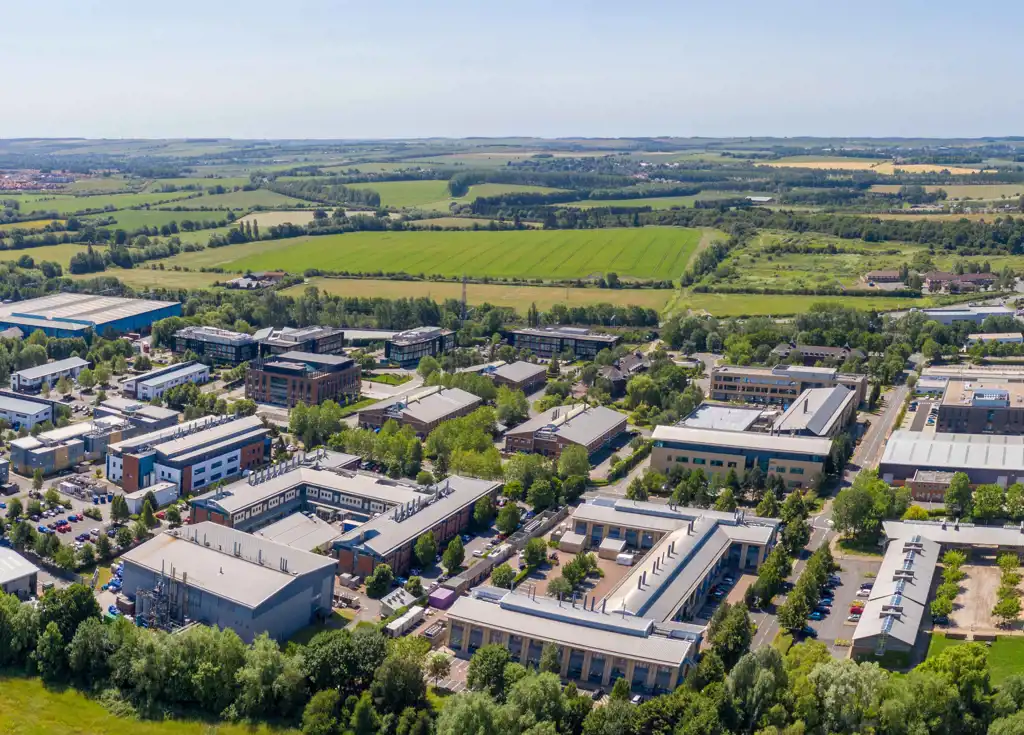
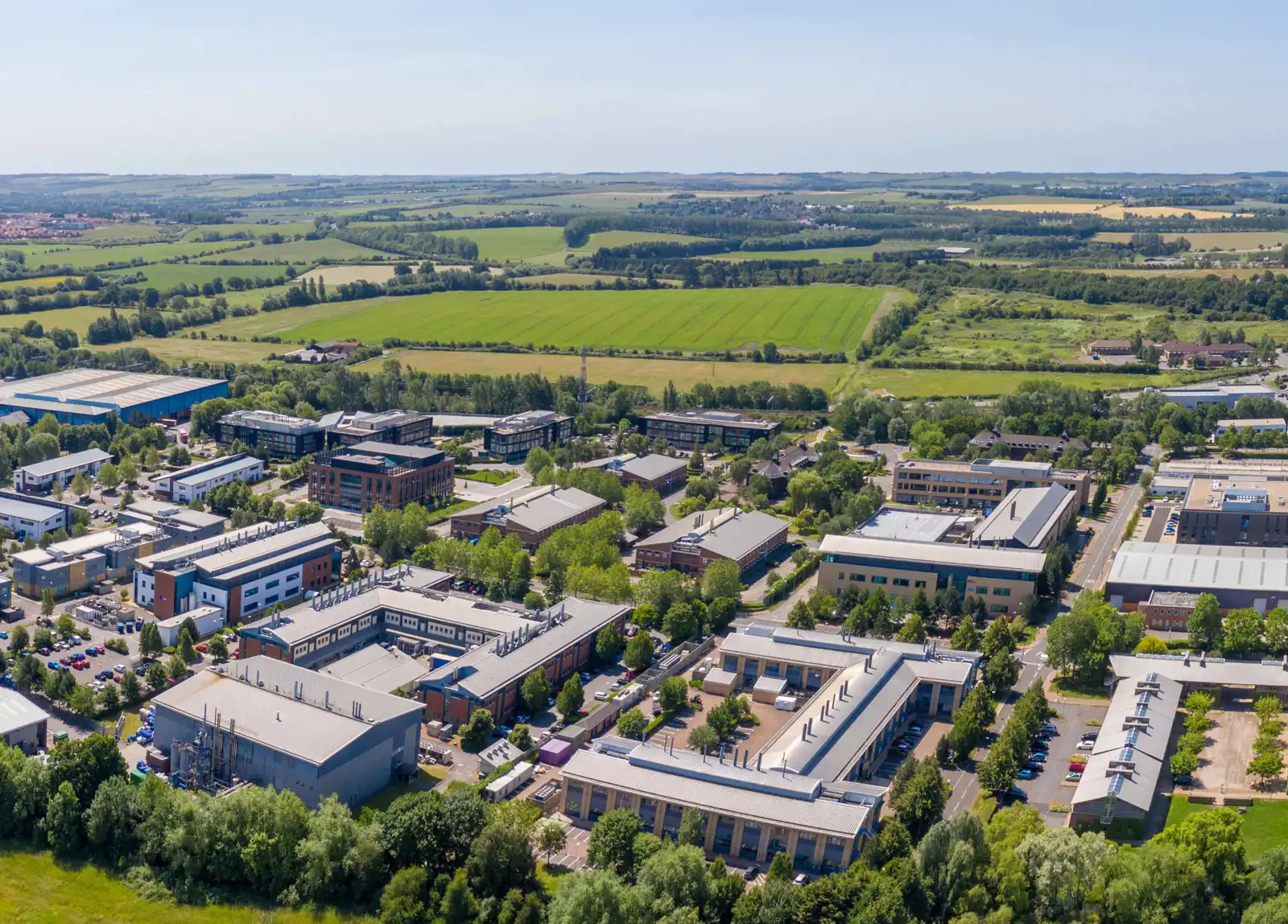
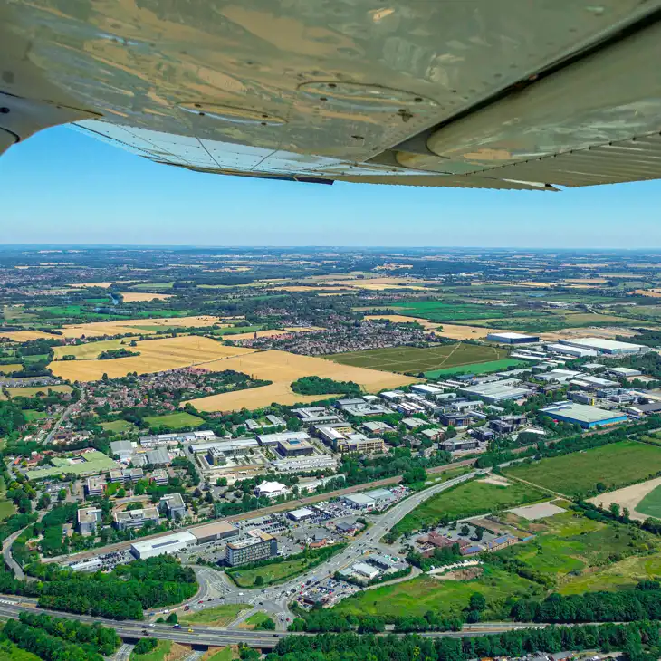
Milton Park is located between Oxford and Reading in the heart of the Science Vale in Oxfordshire, near Abingdon and Didcot, and between Harwell and Culham campuses.
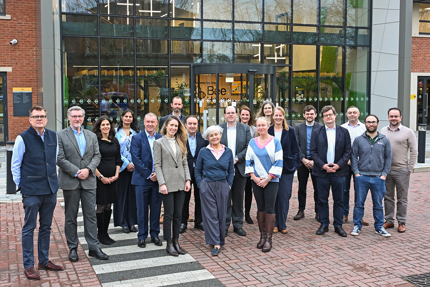
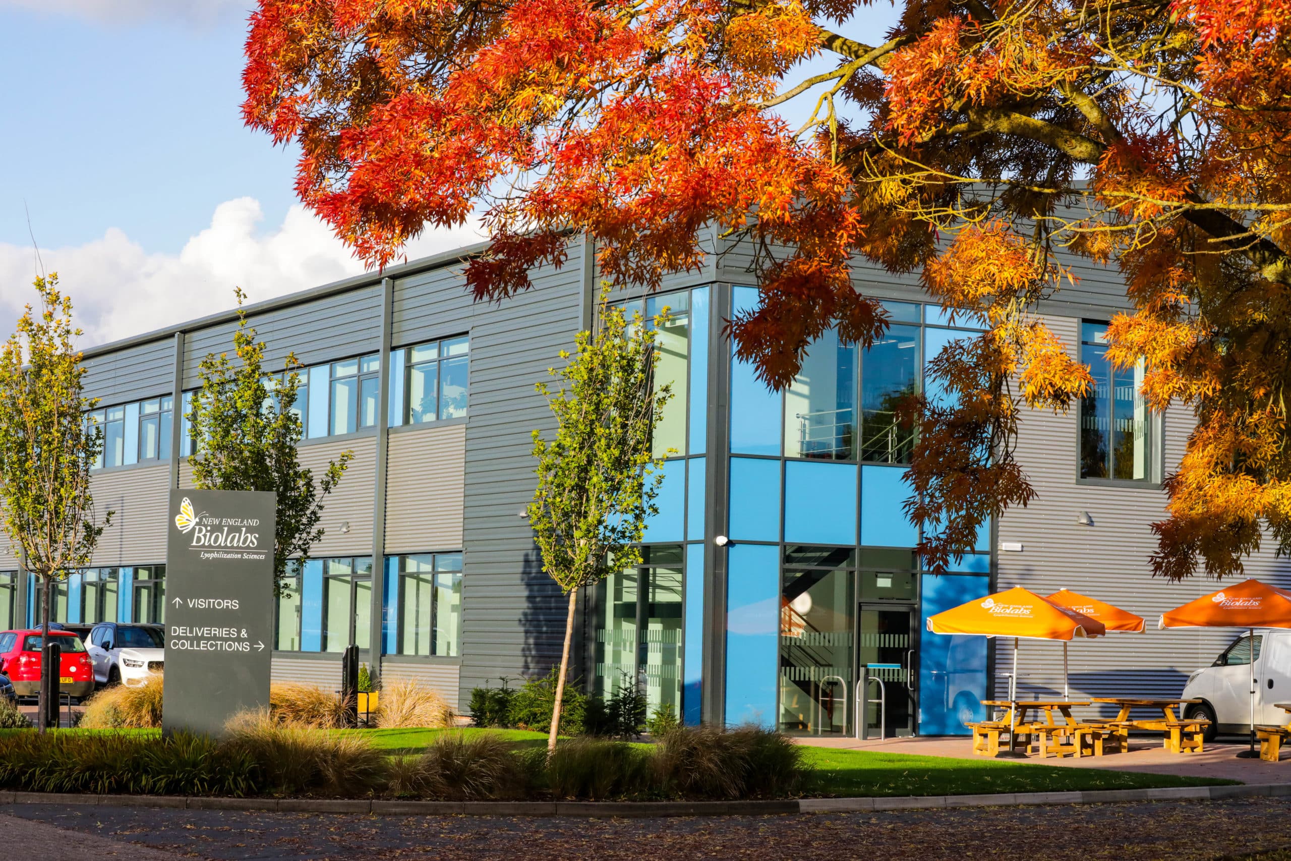
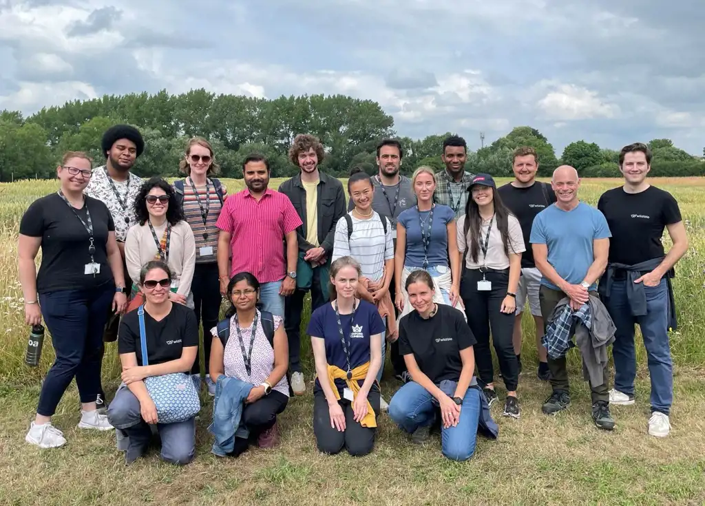
Who’s here?
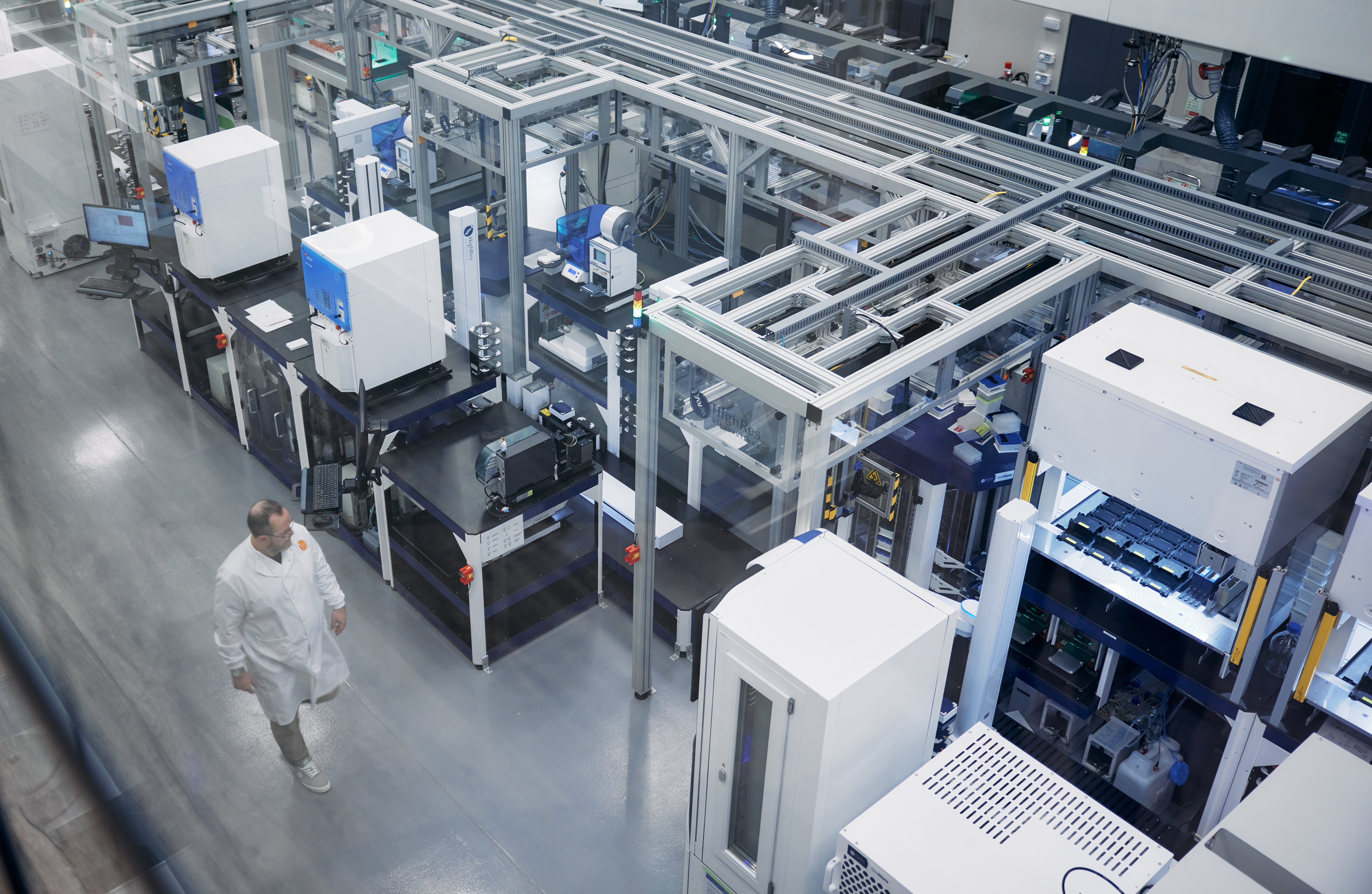
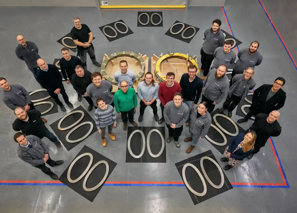
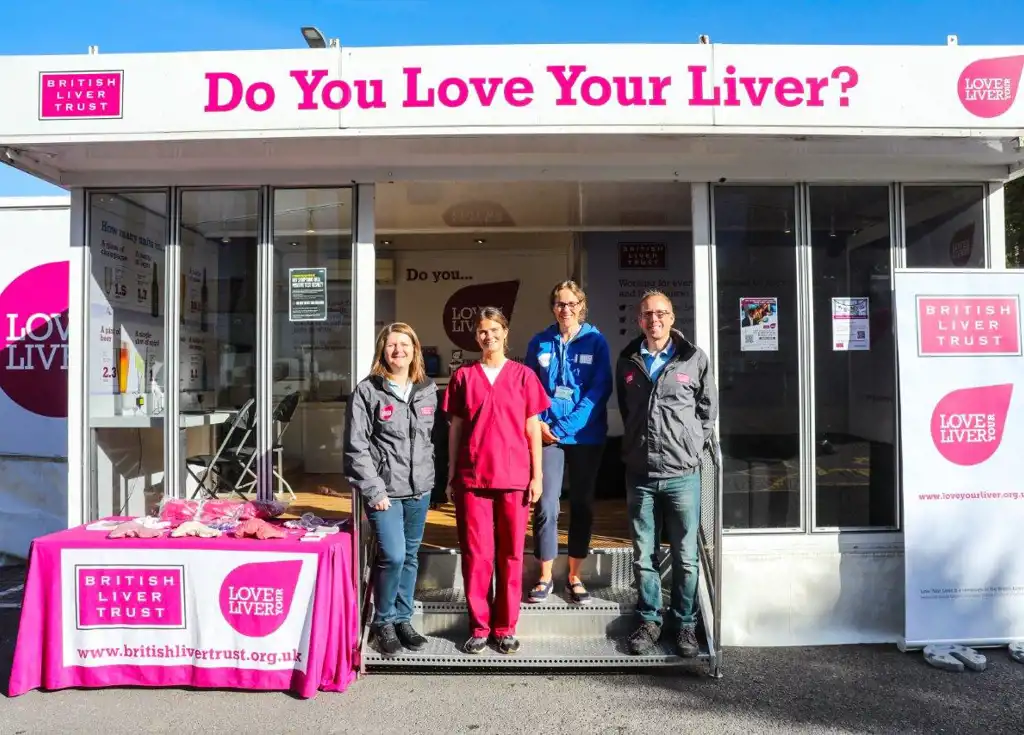
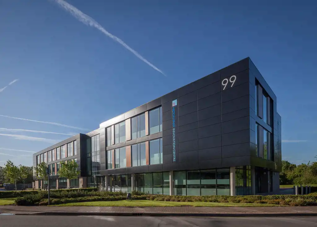
Viewing of 196 companies


New 10-day simplified planning to unlock further life science and technology investment
Find out more


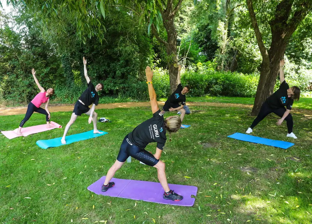


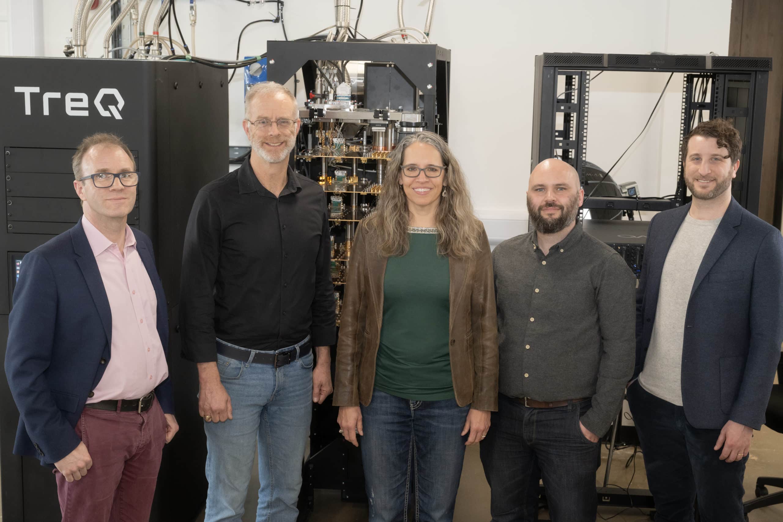
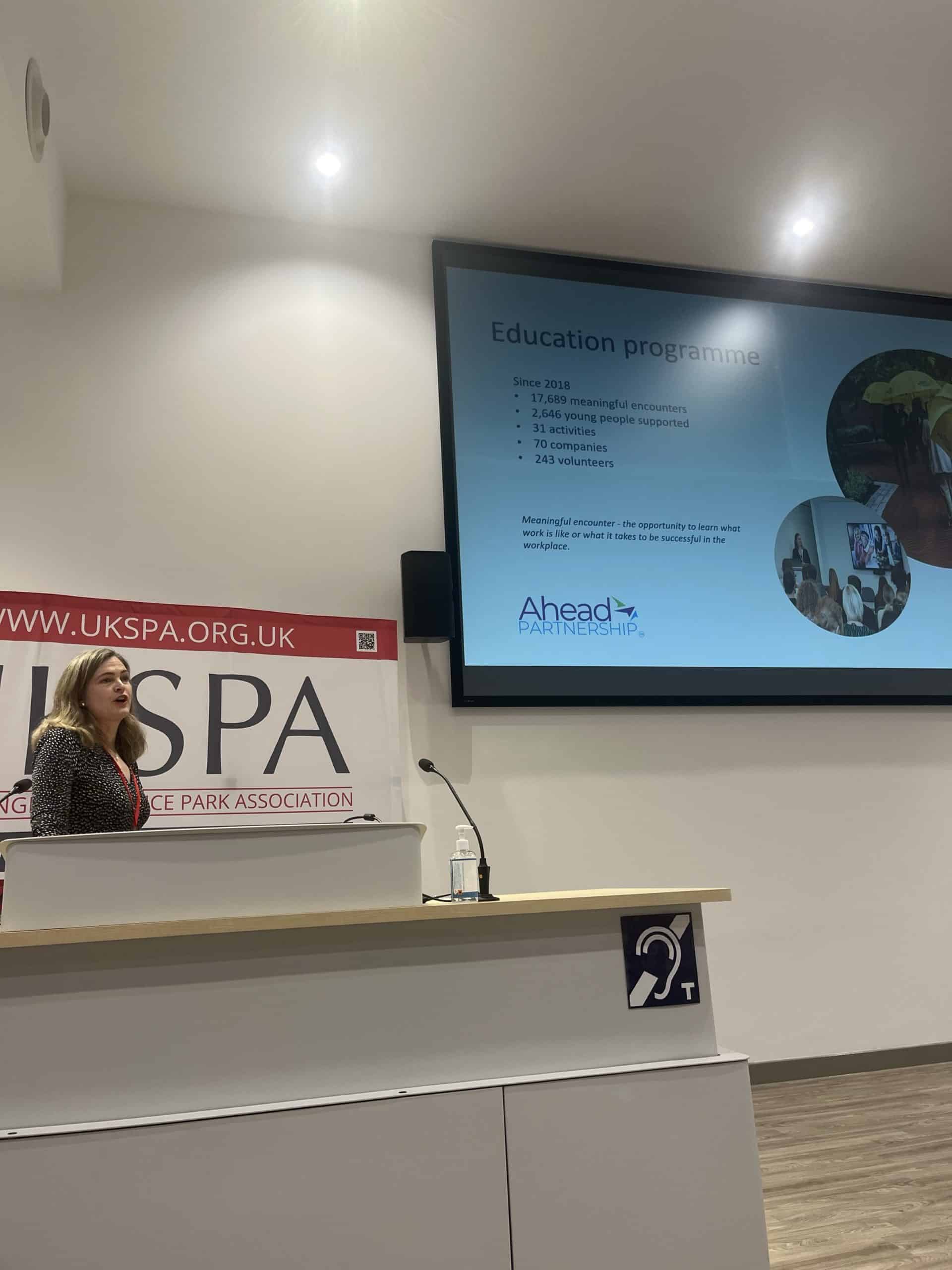
Park People: A Day in the life of Hannah Willett, Plasma Diagnostician at Tokamak Energy
Find out more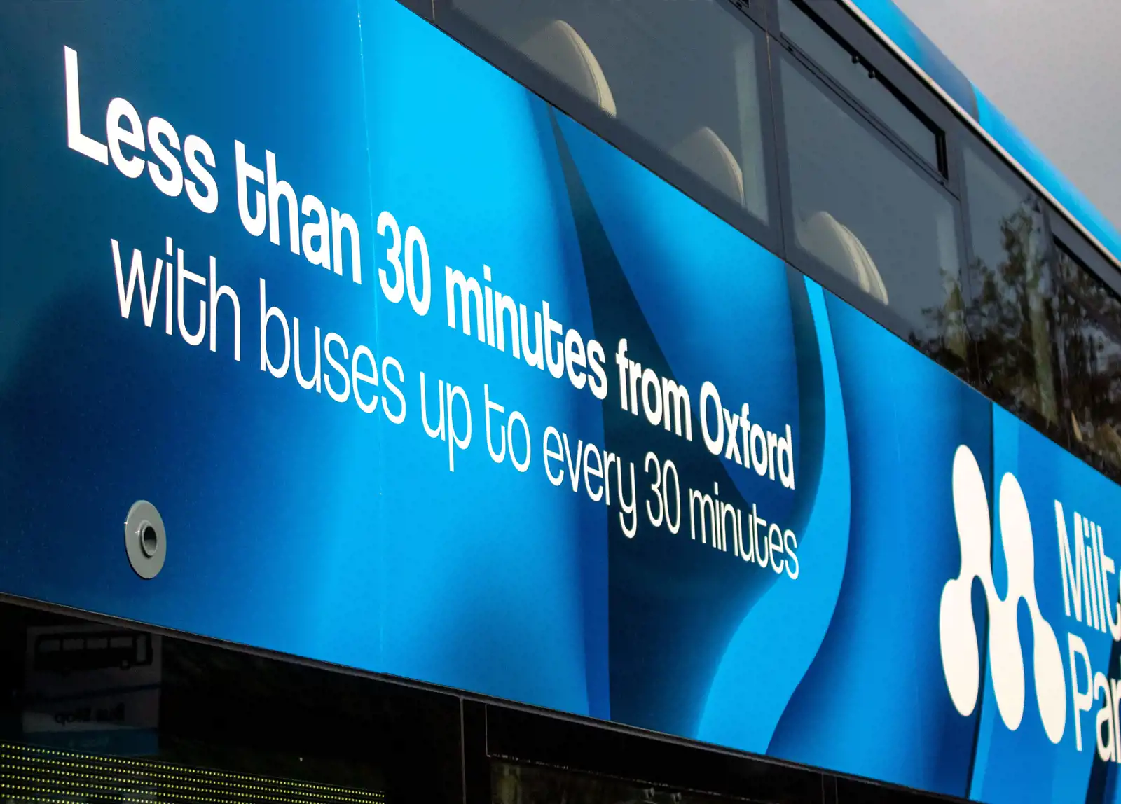


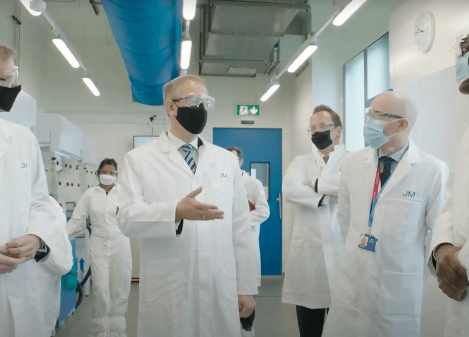
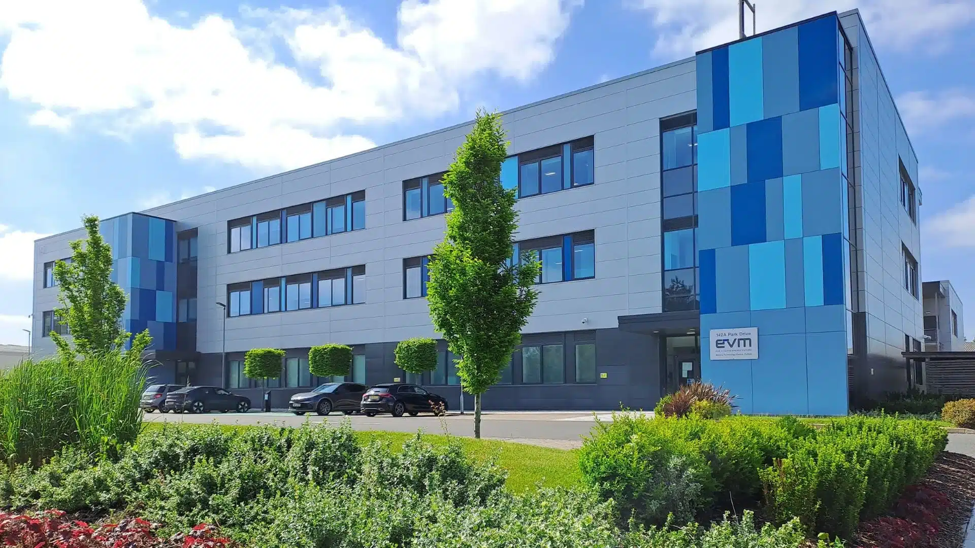
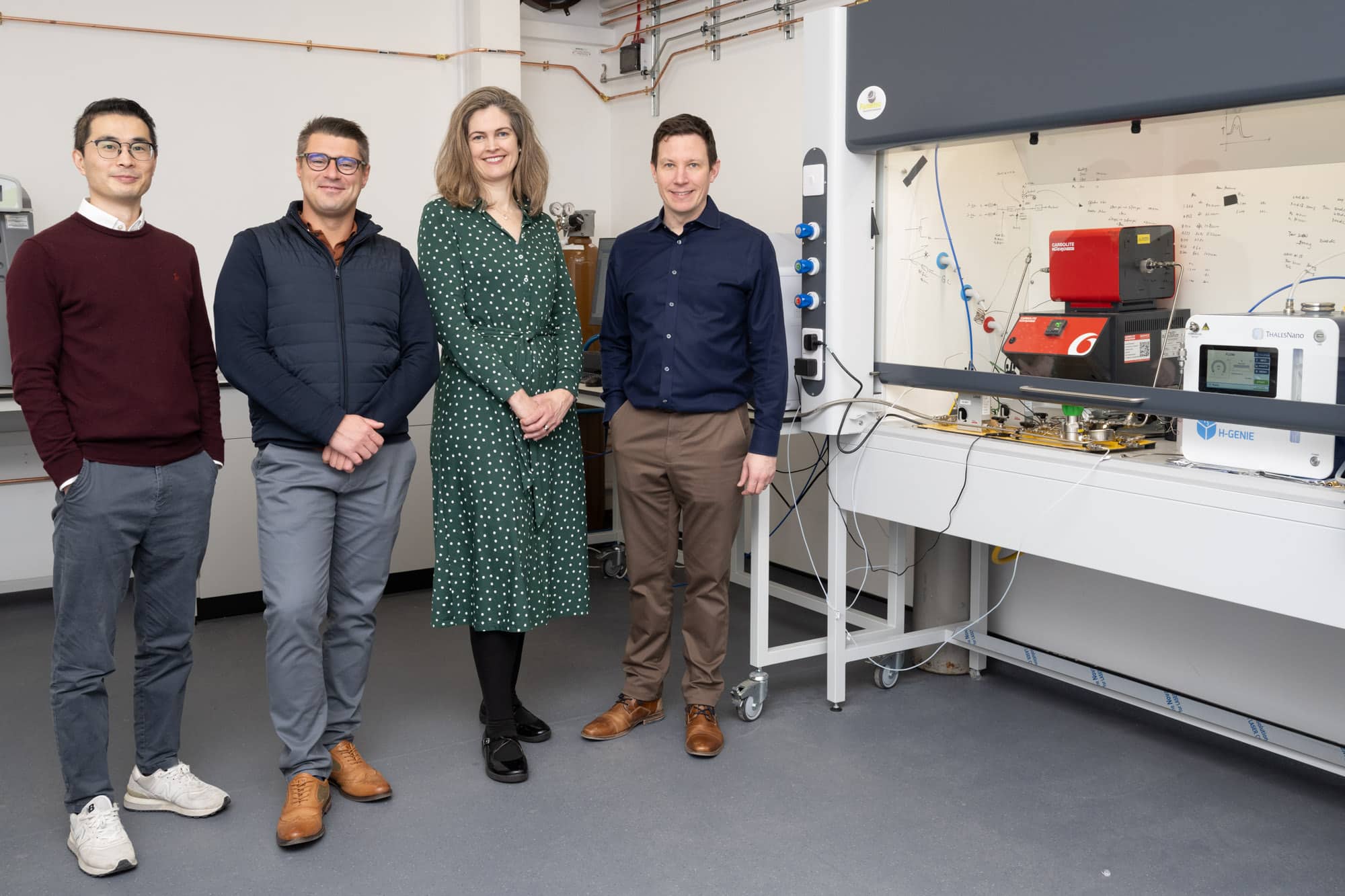
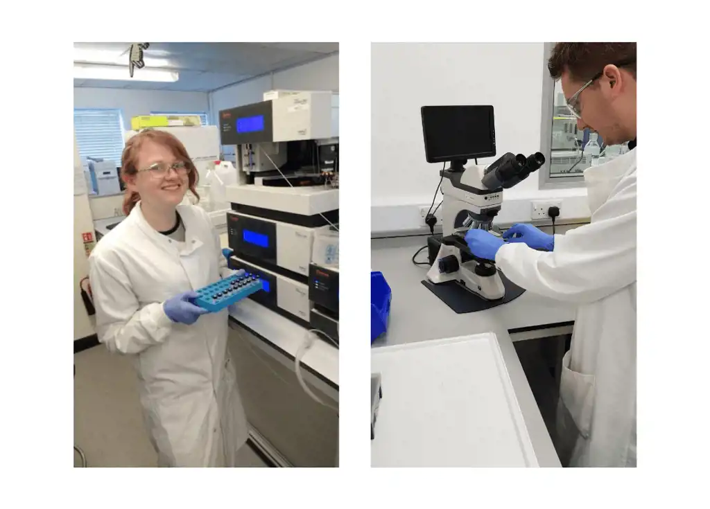
Business Secretary visits Johnson Matthey at Milton Park to open new battery technology facility
Find out more

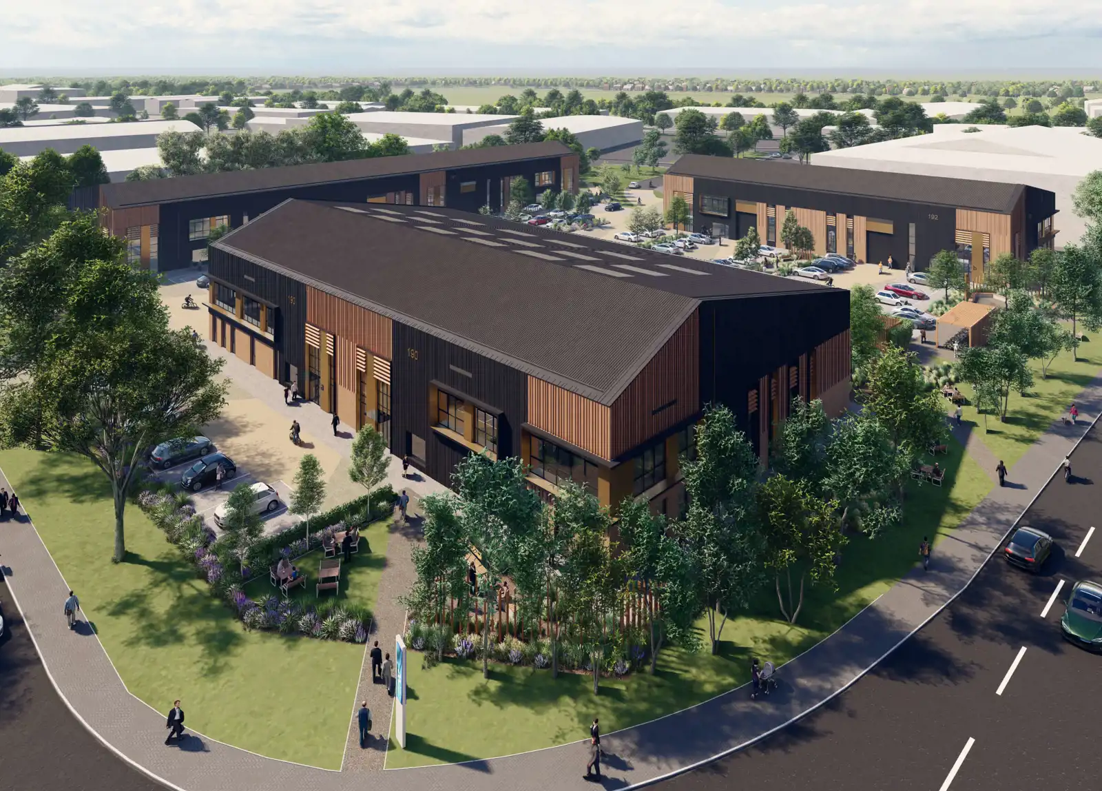
Vale of White Horse District Council and MEPC to review Milton Park Local Development Order to meet 2040 Vision and respond to climate emergency
Find out more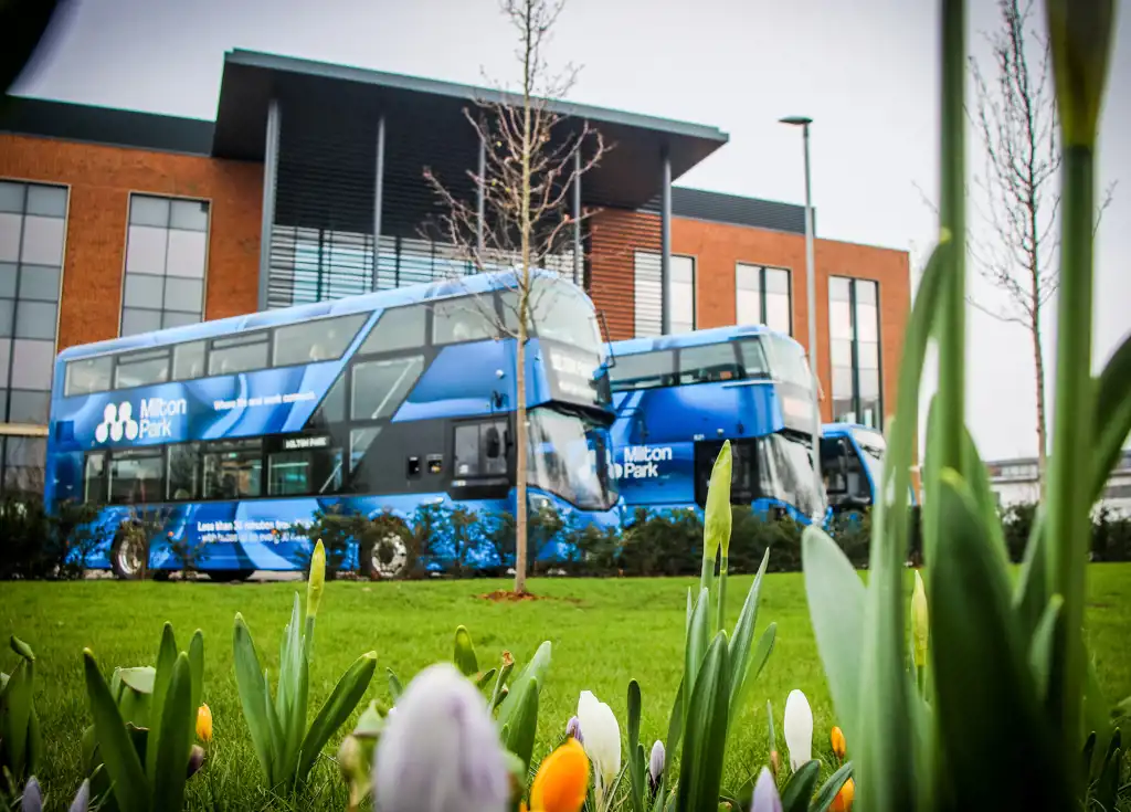
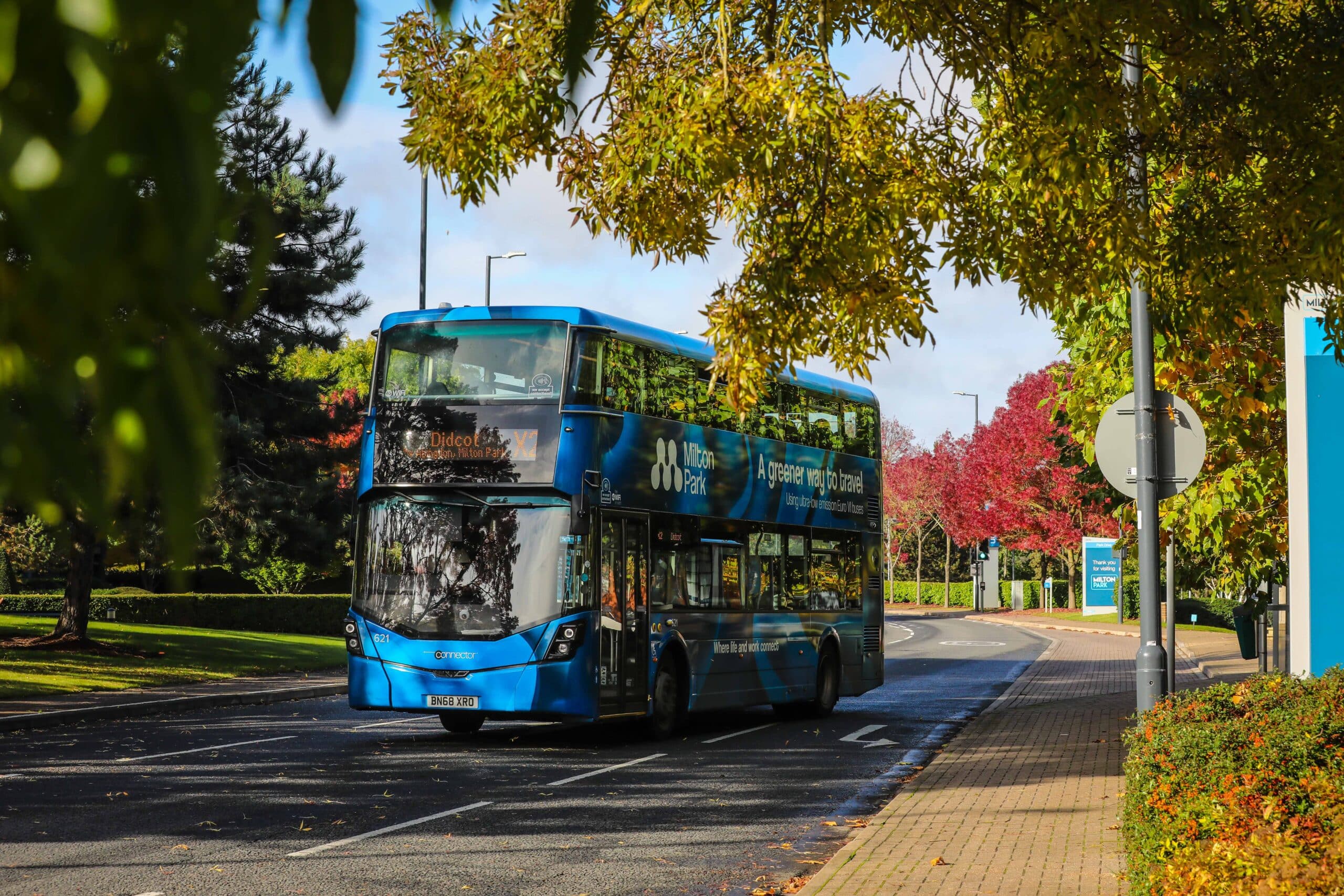
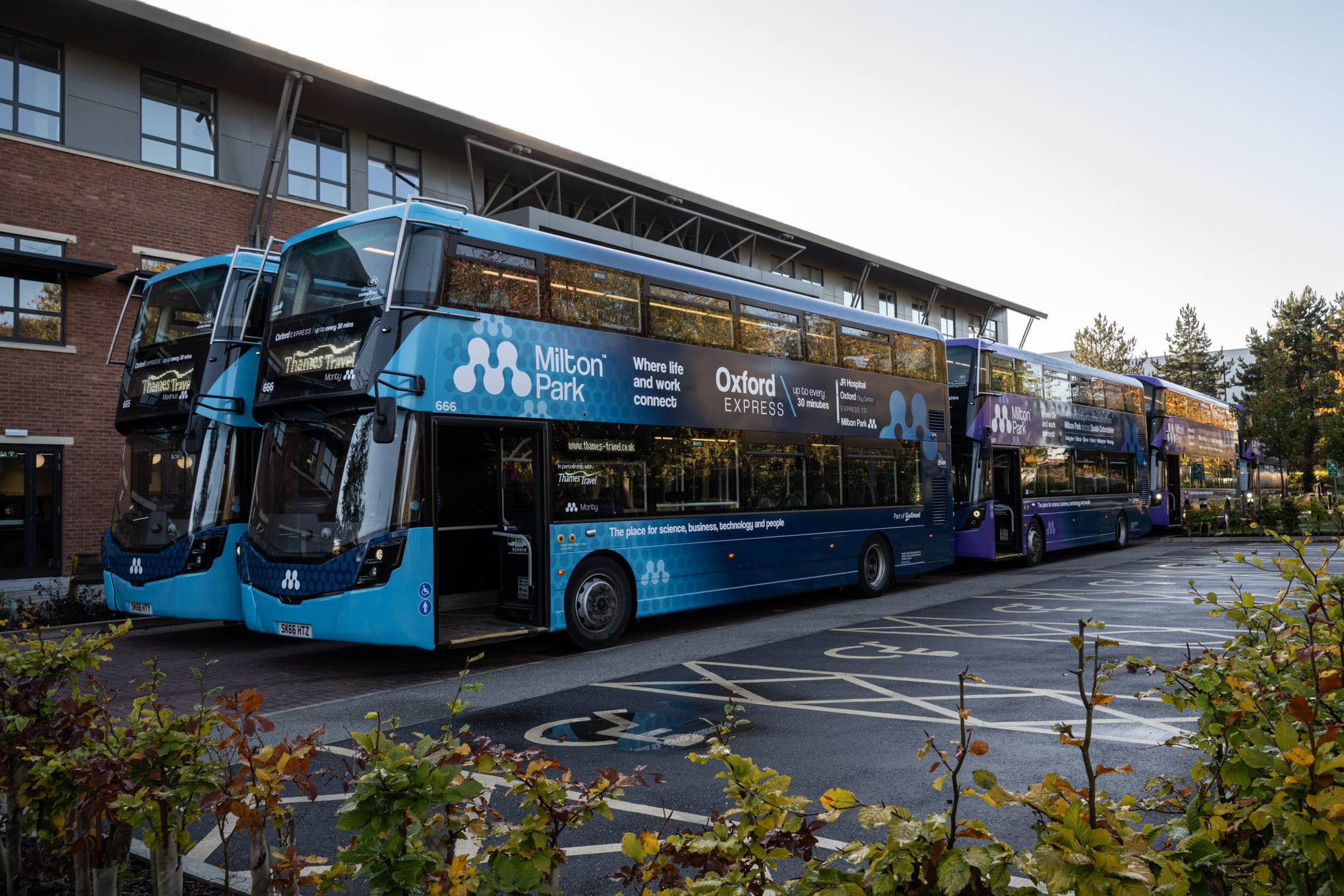
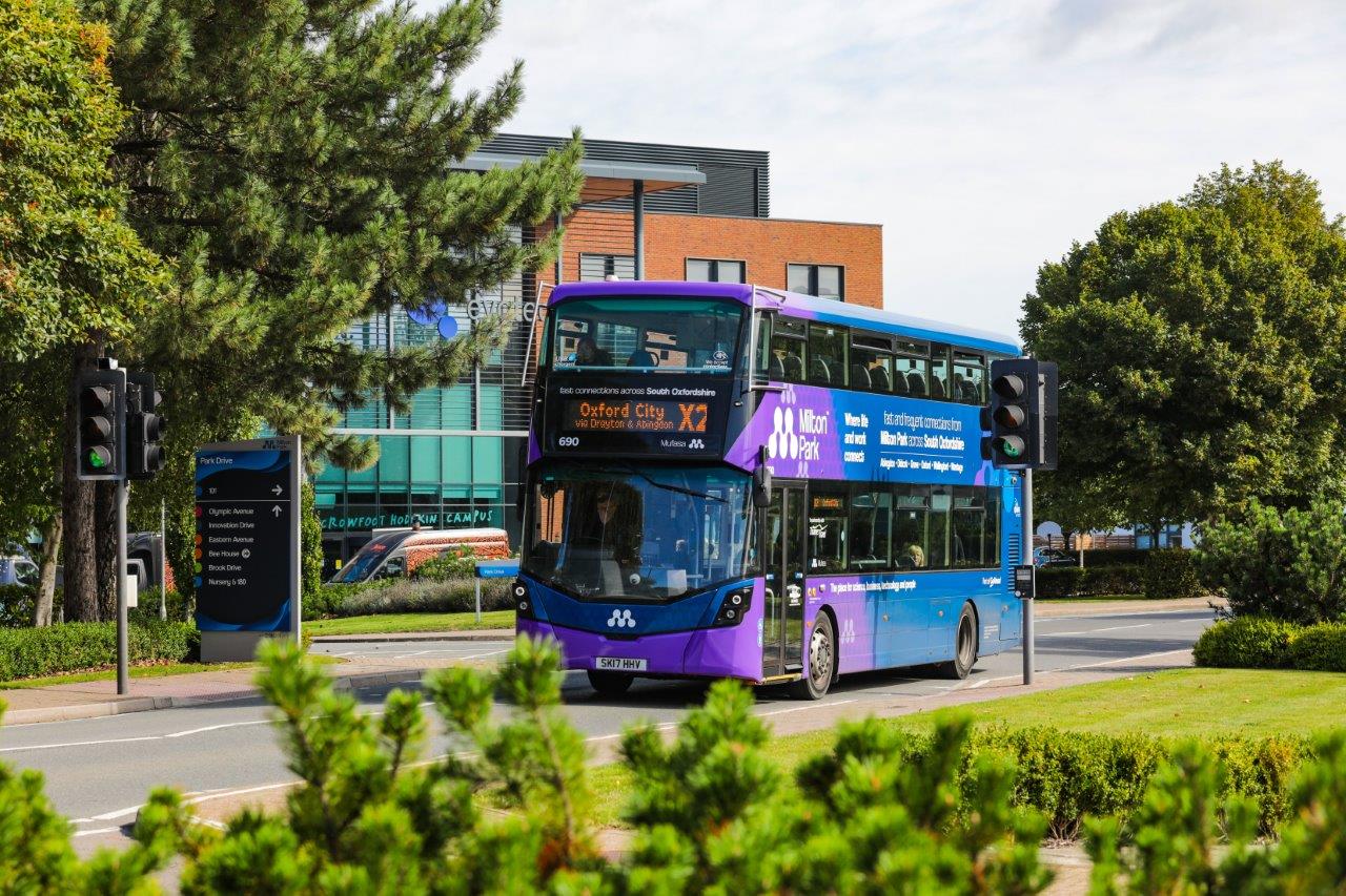
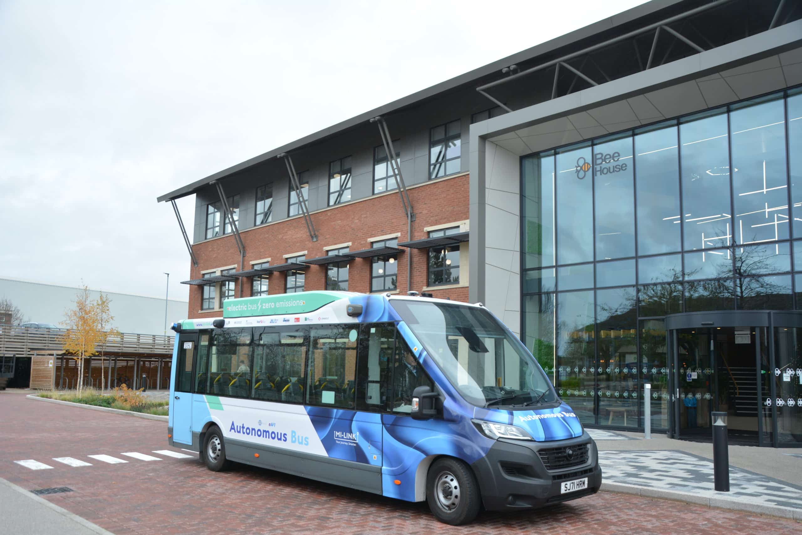
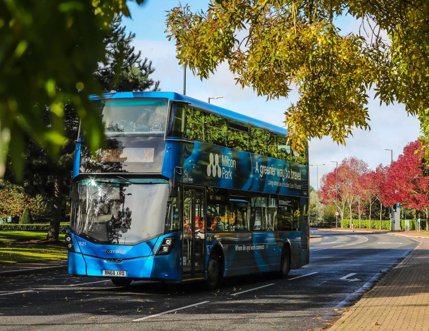
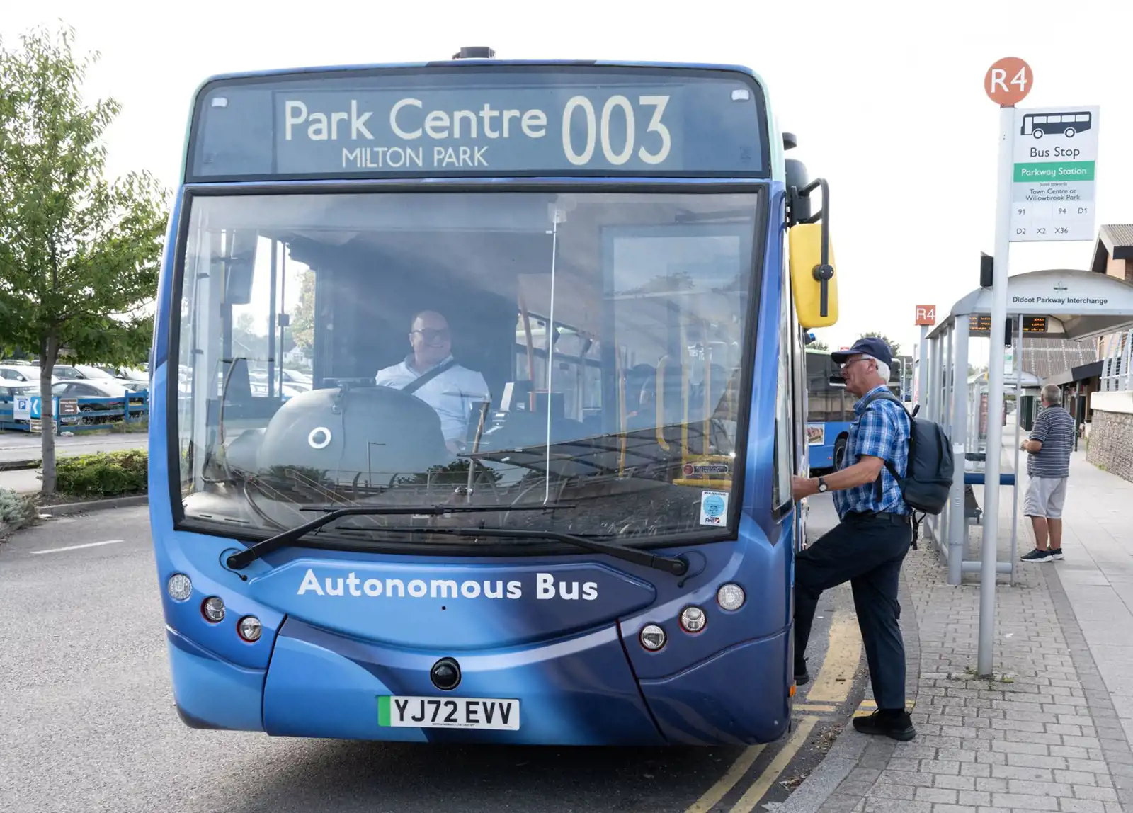
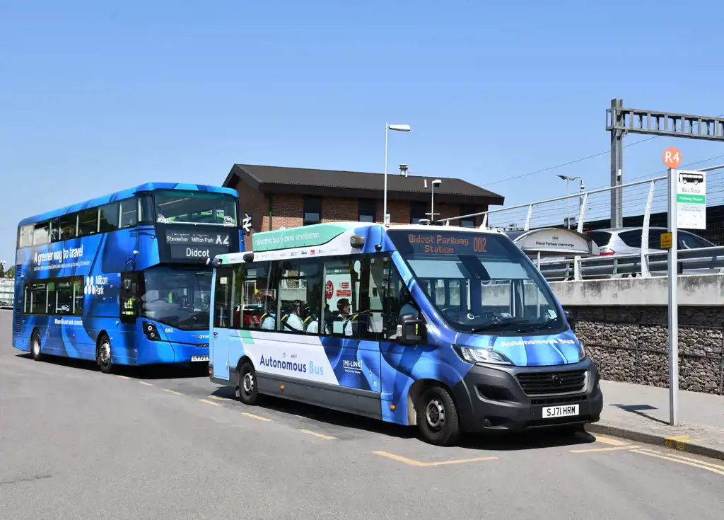
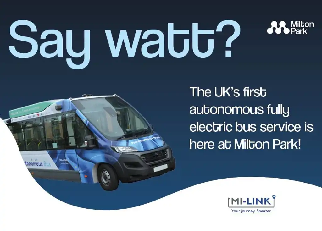
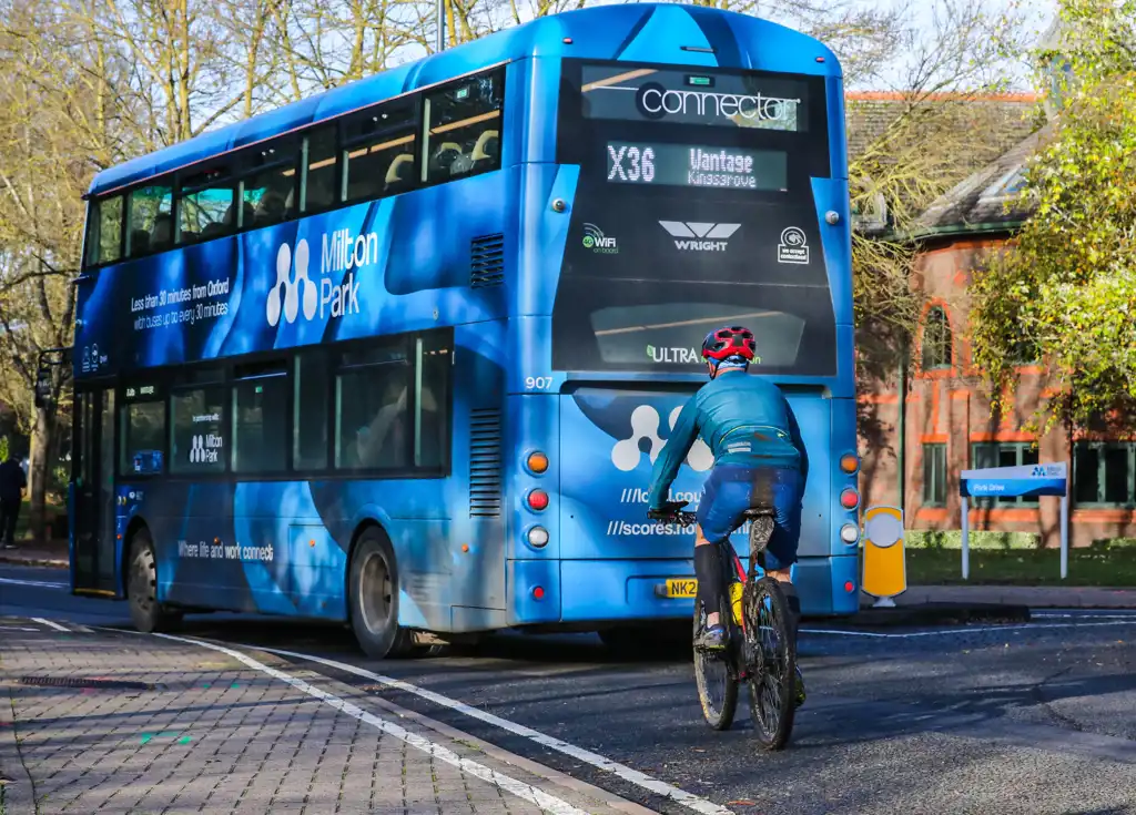
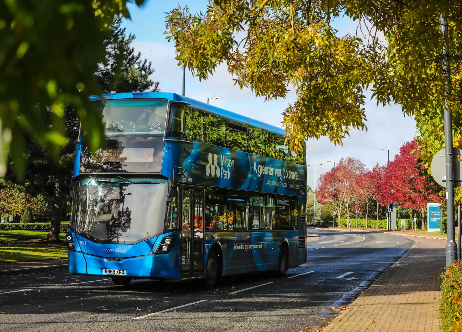
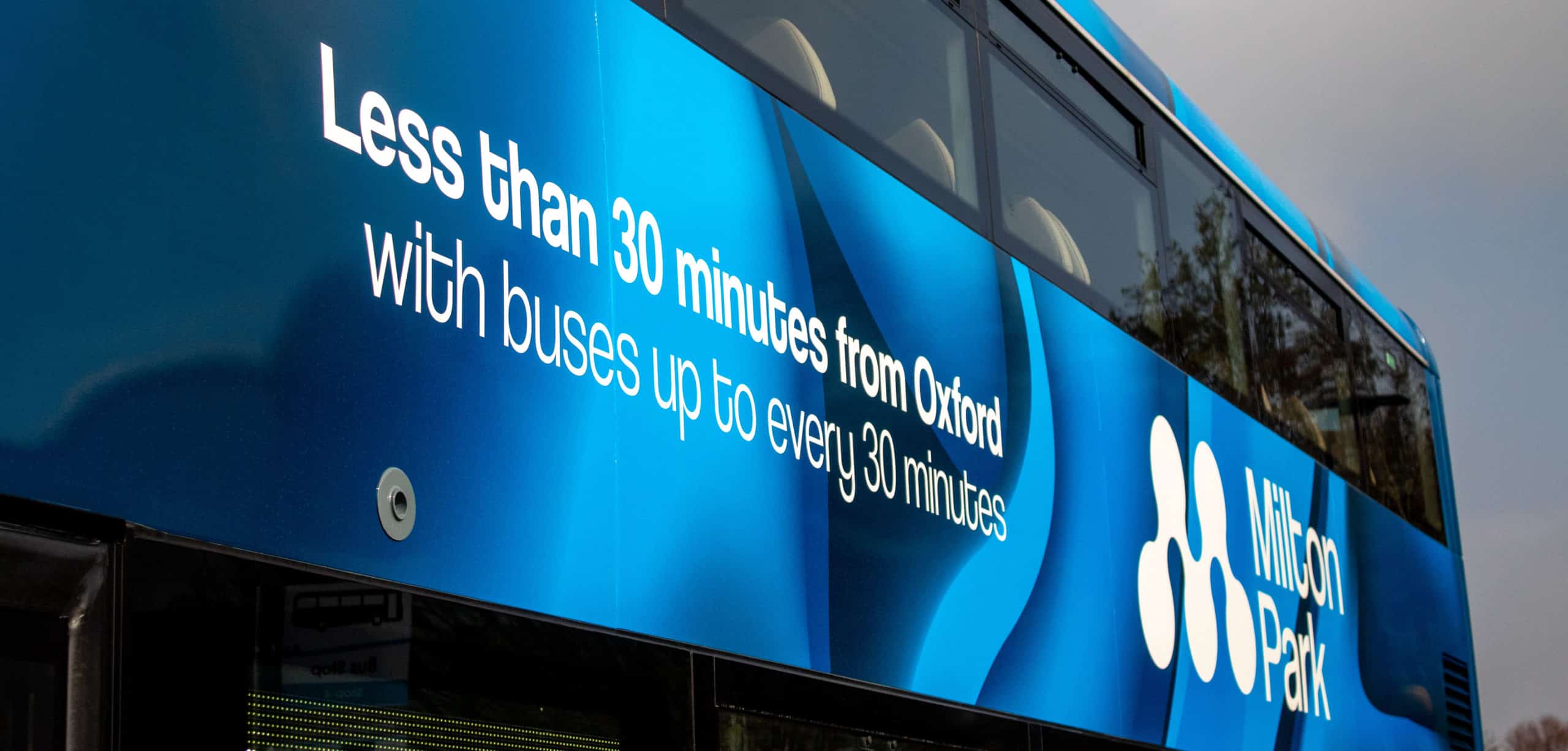
Thames Travel unveils new Milton Park buses livery as part of boost to sustainable transport connectivity
Find out more


Travel options
Everyone who works at Milton Park can apply for an annual bus pass for just £20 which entitles them to free travel between Milton Park and Didcot Parkway and stops within Didcot Zone. Click here for a map of the zones covered by the Milton Park Pass.
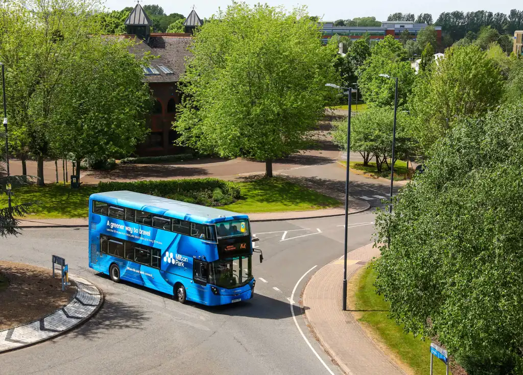
There are buses to and from Didcot Parkway railway station to Milton Park every 8-10 minutes. All buses from Didcot Parkway to Milton Park depart from bus stop R1.
There are frequent bus connections to Milton Park from Abingdon, Didcot, Wallingford, Wantage and Henley and fast connections to Headington Life Sciences sector in Oxford.
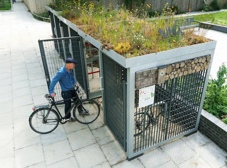
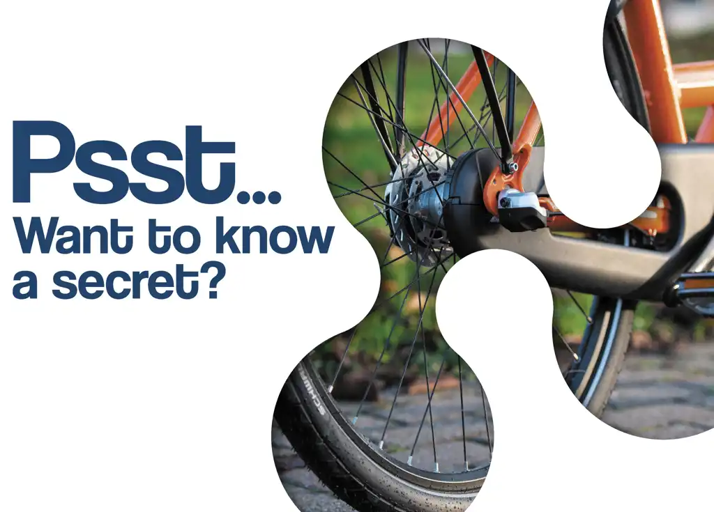
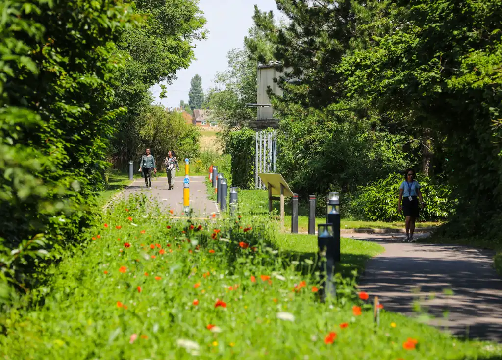
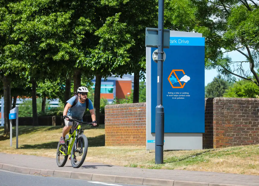
Milton Park has a very active cycling community and is located just off National Cycle Route 5 which connects to Abingdon and on to Oxford.
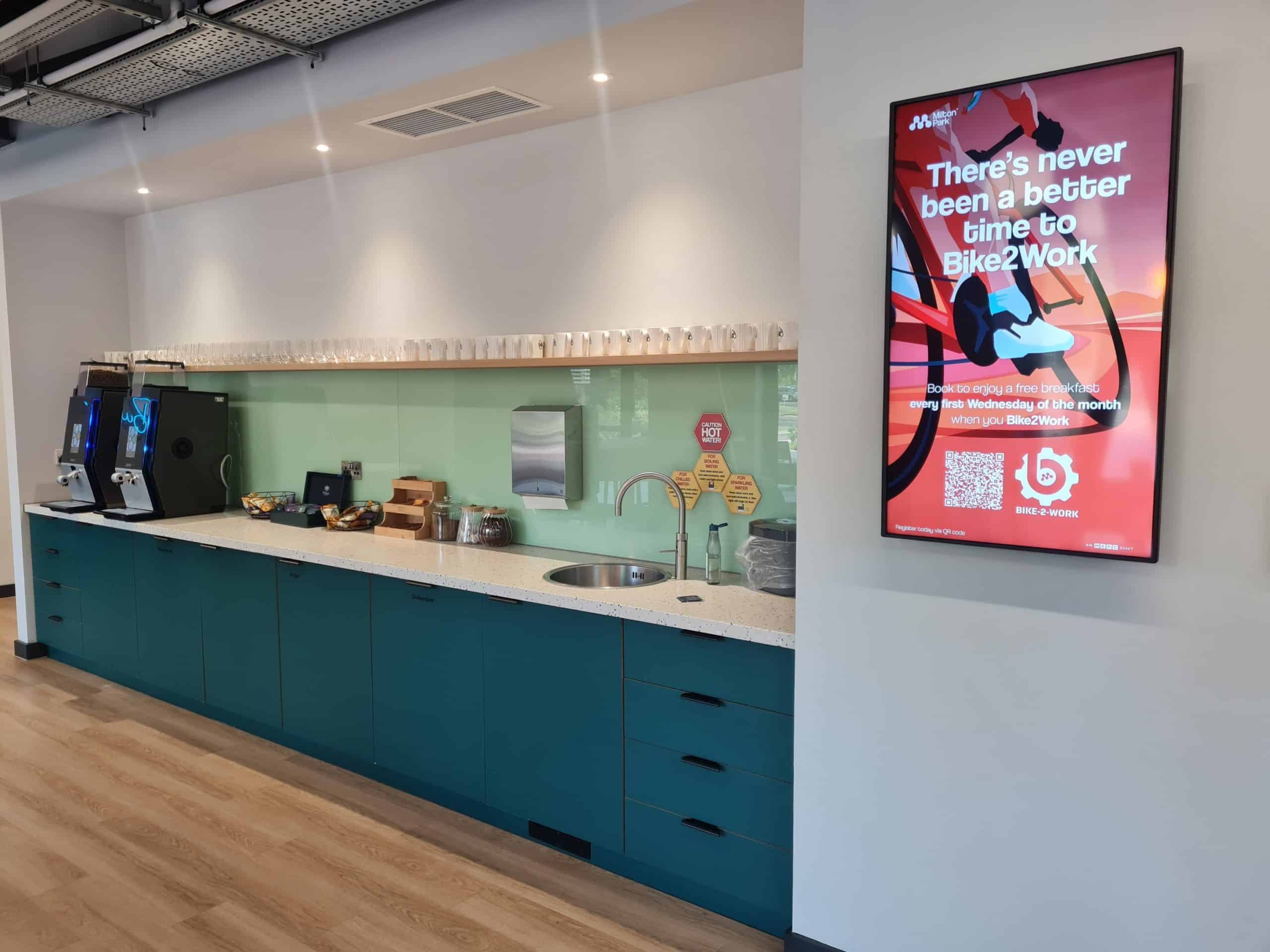
The first Wednesday of the month between March and November is Bike2Work, where cyclists can get a free breakfast if they sign up, and the Bike Doctor comes to site to check bikes and help with minor repairs for free.
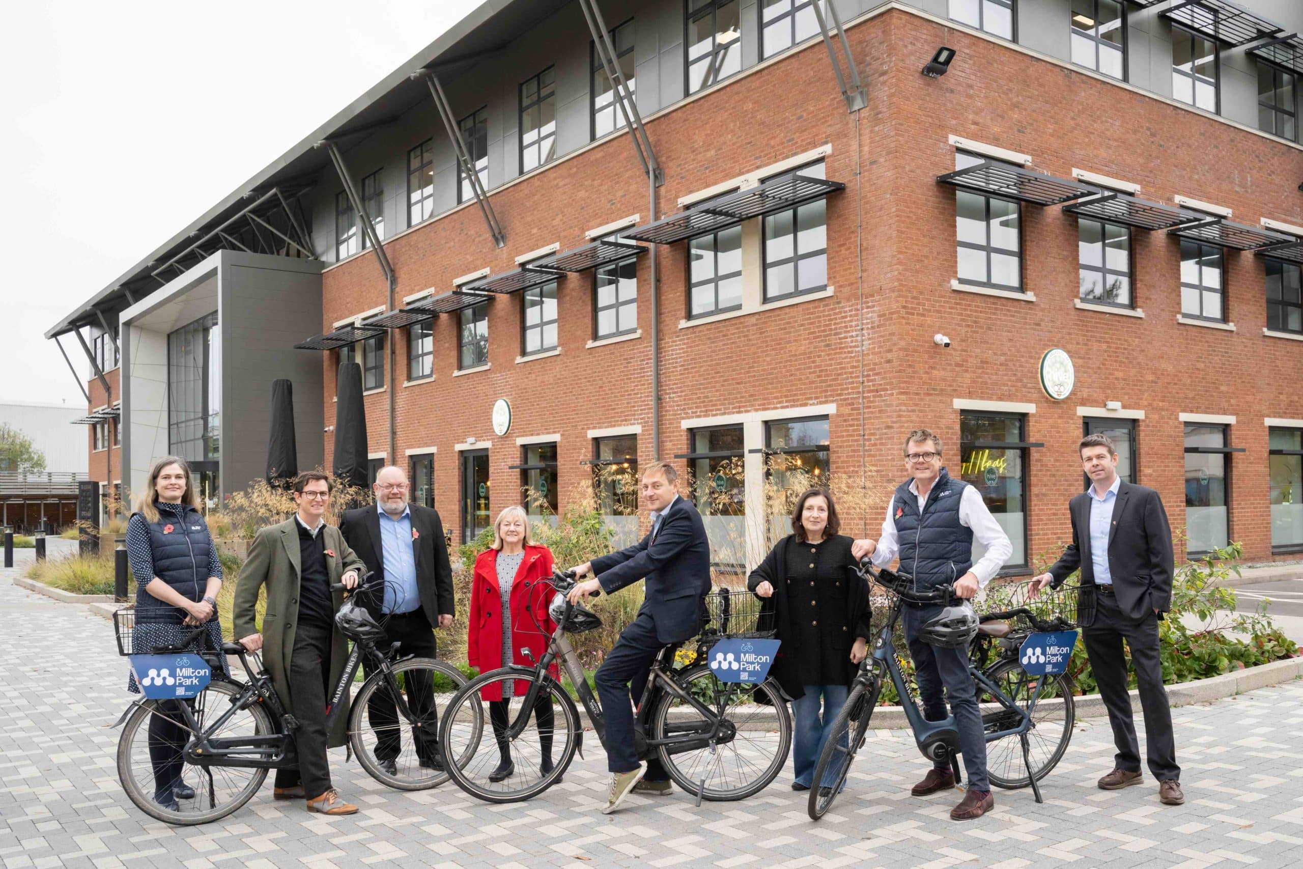
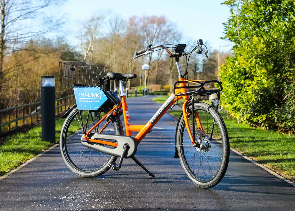
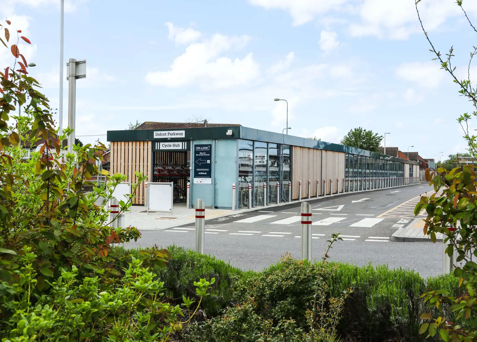
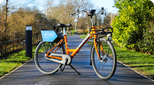
Milton Park has its own free ebike and bike hire scheme for occupiers, with eight geo-fenced cycle hubs around the Park and at Didcot Parkway. The bikes can be accessed by downloading the Donkey Republic app and registering with a Milton Park occupier email address.

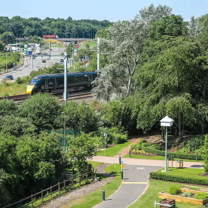
Didcot Parkway railway station is just five minutes away, with fast and frequent connections to London Paddington (45 minutes), Oxford and Reading (both 15 minutes) and Bristol Temple Meads (55 minutes).
A bus service runs from the station to Milton Park every 8-10 minutes.
Milton Park occupiers can also hire bikes and eBikes from the station’s cycle hub for free.
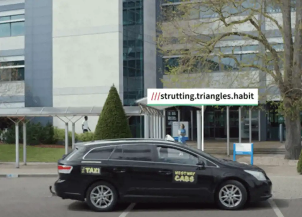
With the A34 on its doorstep, the Park is well-connected to the wider road network of the M4, M40 and beyond. Milton Park is committed to reducing single occupancy vehicle use and wherever possible, workers and visitors are encouraged to use alternative travel options.
A secure car share scheme is available with a guaranteed lift home in case of emergency. It’s easy to find someone to share your journey with, gain rewards and access preferential parking. You can also use the platform to find a cycle or walking buddy.
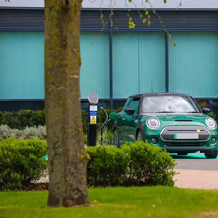
Milton Park has numerous electric vehicle (EV) charging points located across the Park for those that need to plug in – just use the Pod Point app to get started.
London Heathrow airport is only 50 miles from Milton Park, accessible by road or train.
Distance to other airports from Milton Park – London Gatwick (90 miles), Luton (75 miles), Southampton (55 miles) and Birmingham (75 miles) are also conveniently nearby.
Sustainable ways to travel to work
Bus pass
Employees working at Milton Park can apply for an annual bus pass for £20 which entitles them to travel for free on any bus between Milton Park and Didcot Zone 1.
Free bike hire
The Milton Park ebike and bike hire scheme is free to use for occupiers and operates on the Donkey Republic platform.

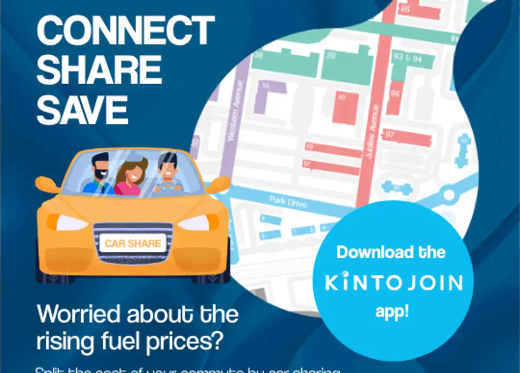
Join our car share
The Milton Park Car Share scheme operates on the Kinto Join car share platform. Verify your journeys in the app to qualify for incentives.